Executive Orders Don’t Propagate Through APIs
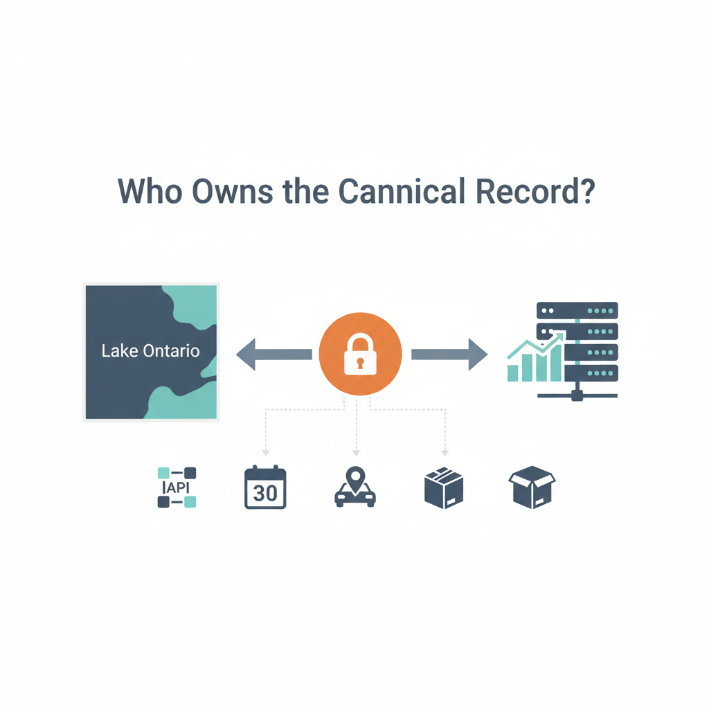
On August 27, 2026, Donald Trump signed an executive order renaming Lake Ontario “Lake America” for federal use. The Interior Department had 30 days to update maps, databases, and documents. Within 24 hours, MapQuest — a mapping platform most people had written off as irrelevant — explicitly refused to implement the change. No press release. No legal challenge. Just: no.
That refusal is worth sitting with.
Because it reveals something that enterprise IT practitioners understand intuitively but rarely say out loud: the authoritative record isn’t whoever has the loudest claim to authority. It’s whoever controls the canonical data layer that downstream systems trust. And in this case, that wasn’t the White House.
Executive Orders Don’t Propagate Through APIs
The federal renaming order targets a specific, narrow slice of the actual geographic data ecosystem: the U.S. Board on Geographic Names and Interior Department databases. A federal directive has no automatic write access to mapping platforms, navigation apps, nautical charts, municipal GIS systems, or logistics software. These systems maintain their own data pipelines, their own versioning, their own governance.
When the iBoating app showed Lake Ontario on your phone, that name came from iBoating’s own reference data store, not from a federal API call that polled the Interior Department on every load. MapQuest’s tile server, the routing engine in your car, the address validation service that a delivery company uses — none of them are watching the federal register for updates. They’re all holding their own copies of the canonical record, refreshed on their own schedules, governed by their own data stewards.
This is a fundamental design principle that most enterprises learn the hard way.
When a business unit demands that a taxonomy change get pushed across the organization, IT doesn’t just flip a switch. A place name, like any reference data, touches everything downstream. It’s embedded in indexed content. It’s linked to business listings. It’s baked into address records. User-generated data references it. Historical queries expect it. If you change it unilaterally, you don’t just update a label — you potentially break referential integrity across the entire graph.
MapQuest understood this. The company kept “Lake Ontario” in its system not because of political conviction, but because the cost of downstream breakage exceeded the value of compliance with an upstream directive.
Consider what it would actually take to propagate a place-name change across a modern enterprise data stack. First, you identify every system that holds a reference to the old name. In the case of a major geographic feature, that’s not dozens of systems. It’s thousands. Municipal GIS databases in New York and Ontario. Postal services. Logistics companies. Real estate databases. Historical archives. Academic datasets. Every one of those systems has “Lake Ontario” baked into indexed records, boundary definitions, or administrative hierarchies.
Then you need to version the change.
Do old records still reference the old name? Do queries need to understand both names? If someone searches for “Lake Ontario,” do you redirect them to “Lake America” or show them nothing? MapQuest still lists “Lake Ontario Boat Launch” as a location in Ontario, NY — the name is embedded in structured place records, not just a label on a tile. Changing the parent feature name without updating the child records creates data inconsistency. Updating child records without a versioning strategy breaks historical data integrity.
Then you need to handle the timeline.
The federal order gave Interior 30 days to comply. But MapQuest’s data refresh cycles don’t align with federal timelines. Neither do anyone else’s. Some systems update quarterly. Some update on-demand. Some are locked into annual release schedules. A coordinated, enterprise-wide name change doesn’t happen in 30 days. It takes months or years, with fallback logic, dual-naming periods, and deprecation warnings.
No organization does this casually.
Data Governance Wins When Politics Loses
The tech press and social media framed MapQuest’s refusal as an act of political defiance. A plucky underdog company standing up to executive power. It was actually nothing of the sort. It was a data steward protecting referential integrity. The same calculation that happens every day in enterprise IT when a business unit demands a taxonomy change that will break production systems.
MapQuest made a reference data governance decision. The kind that happens in ticket systems, in data architecture meetings, in pull request comments. Someone — probably a data engineer, probably not a CEO — looked at the change request and said: the cost of this change exceeds its value. The downstream breakage is real. The upstream mandate doesn’t account for the actual structure of our data graph. We’re not doing this.
That decision holds because MapQuest owns the canonical record that matters to its users.
Governments assume they are the source of truth for geography the same way C-suite executives assume their data definitions supersede the ones already baked into production systems. They’re usually wrong on both counts. The real authority belongs to whoever built the graph that everyone else queries. If you control the reference data that downstream systems depend on, you have veto power over upstream directives. Not because you’re defiant. Because breaking your data integrity breaks everyone else’s.
This is why the TikTok coverage of the MapQuest refusal missed the point entirely.
The story wasn’t about political courage. It was about data lineage. It was about the difference between nominal authority and operational authority. The federal government has nominal authority over geographic names. MapQuest has operational authority over the geographic data that millions of people actually use. Those are different things, and in a modern data ecosystem, operational authority wins.
Consider the alternative. Suppose MapQuest had complied on day one, updated its database, and started showing “Lake America” to users. What would have happened next? Every navigation app that doesn’t make the same change becomes confusing — you’re using MapQuest and it says “Lake America,” but your car’s GPS says “Lake Ontario,” and your phone’s search results show both names, and the maritime authority is still using the old name on official charts. The user experience becomes incoherent. Worse, the data becomes incoherent. You’ve created a situation where “Lake America” and “Lake Ontario” are treated as different entities in some systems and the same entity in others. That’s how you end up with duplicate records, failed joins, and data quality issues that take years to untangle.
MapQuest avoided this by simply saying no.
The federal order will eventually propagate into some systems and not others. Some government agencies will use “Lake America.” Most of the private sector won’t. In ten years, there will be two parallel datasets: one federal, one commercial. Queries will need to account for both. Historical data will reference the old name. New data might reference the new one. The geographic record will be fragmented.
This is already happening with dozens of place names that different governments, organizations, and communities refuse to align on. It’s not a bug. It’s what happens when you don’t control the canonical record.
What this episode actually surfaces is a question that enterprise architects have been quietly arguing about for years: who owns the canonical record when the authoritative source does something the rest of the ecosystem won’t follow? The answer is always the same. It’s not the authority. It’s the steward. The person who built the graph that everyone else queries, who understands the downstream dependencies, who has to live with the consequences of the change.
MapQuest didn’t make a statement about Trump. It made a statement about data lineage. Those are very different things, and only one of them will still matter in ten years.